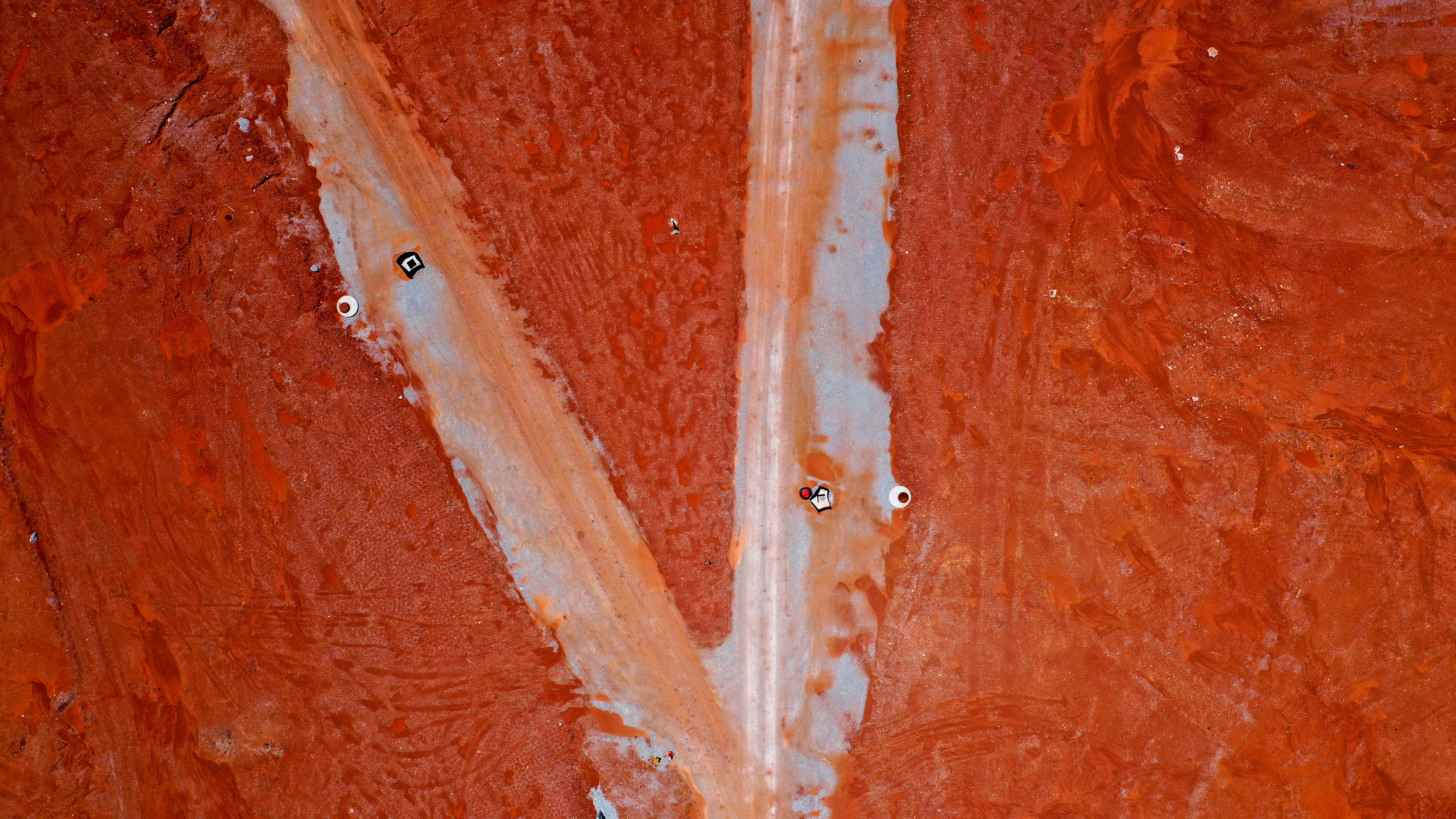
Torrential rains erode a precisely leveled plot of Earth into an extraterrestrial landscape.
When conditions change, quickly adjusting your workflow is critical to the success of a job. A drone allowed us to create a digital elevation model of a 670 acre site in ten hours. Traditional data collection methods would have taken at least a week to produce a comparable data set.
This photo (DJI_439) was one of 3,223 images I captured during a six hour @dronedeploy mission


