Nine stories off the ground protective covers are removed from vertical expansion plates. In two months time, foundations will be set for work on the new 10th floor to begin.
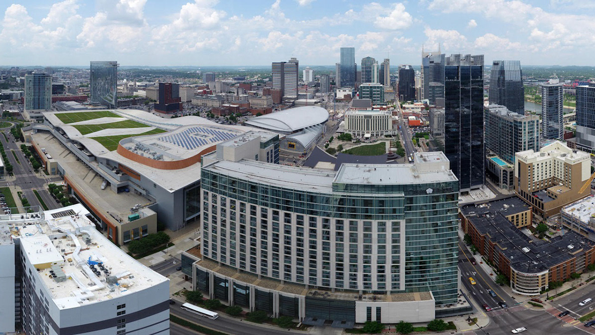
From two hundred feet above a drone captured images of the 6 acre building footprint. On the roof a laser scanner captured expansion plate locations and dimensions. Merged point clouds from the drone and scanner created a virtual model of the site with millimeter level accuracy.
Comparing the virtual site model to the proposed expansion plans revealed structural design discrepancies. Designers generate a new set of drawings, tailored to the site conditions, that mitigated the need for major design changes during construction.
I captured this image on an automated flight using DroneDeploy
